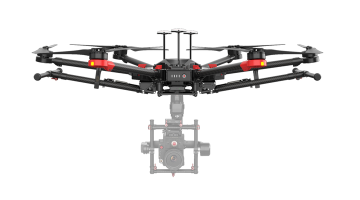
Understanding how different components interact to give the required end product is on of the most crucial engineering tasks that we have mastered over many years of building different aircraft and UAVs. Whether constructing a commercial UAS system from commercial parts or our team fully designing case specific items which we can prototype and integrate into a final solution. Our team can do electronic systems, 3D CAD design, 3D Print, manually manufacture various parts and assemble everything into a professional UAS System that meets our clients specific needs.
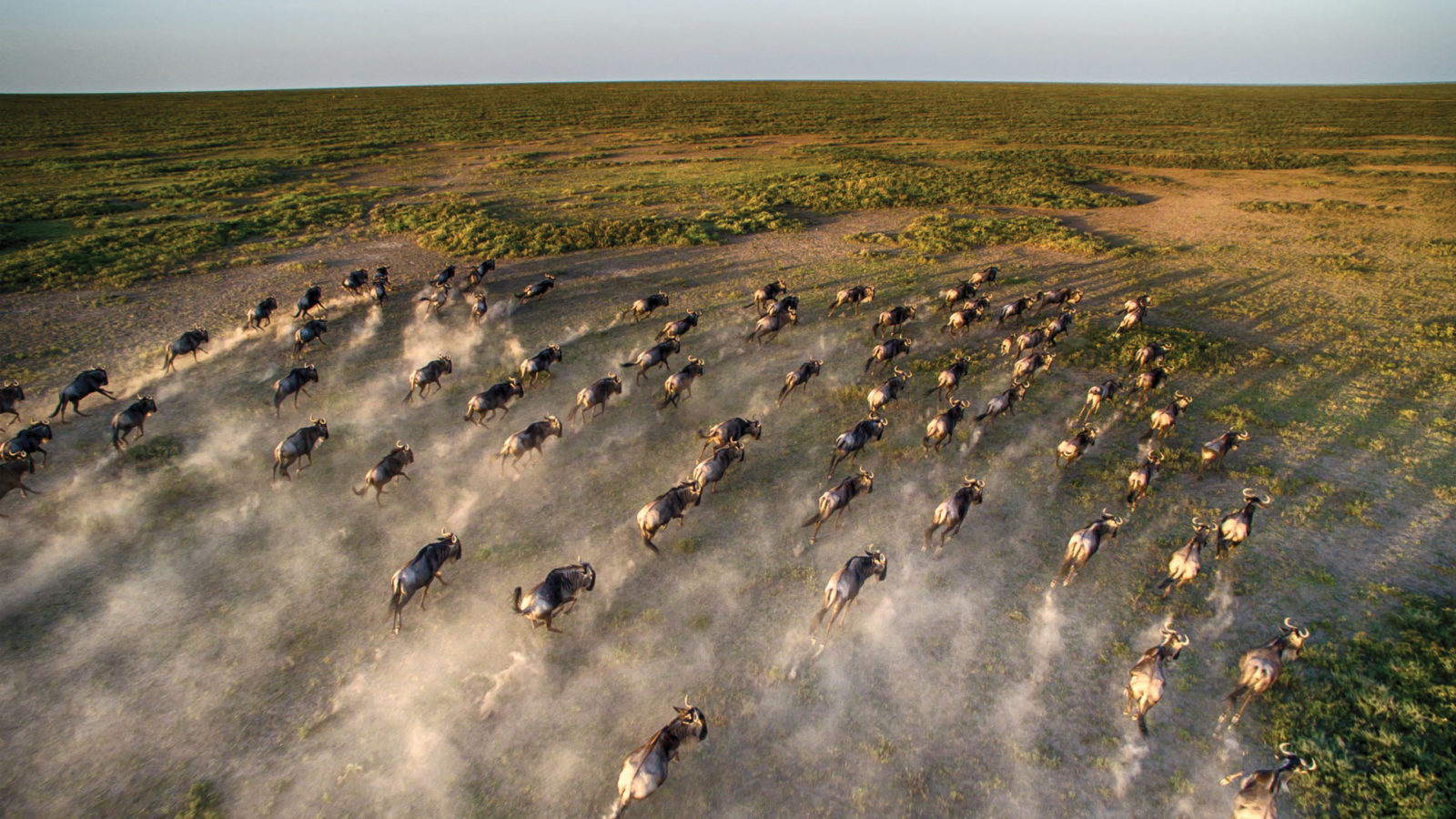
Conservation of our Fauna and Flora is crucial for our future generations. UAS technology provides better means of doing conservation related activities such as such as Flood risk analysis,Environmental Impact assessment (EIA), Erosion detection and management survey, Air quality assessment, Forestry mapping & management, Topographical survey, Forestry, Intertidal survey, Water ingress, Water management (leak detection) etc.
One of the most difficult sectors under conservation is anti-poaching. This is one of the most under achieved use cases for UAS systems with most deployments in this area failing due to the lack of professional experience and usage of incorrect equipment. Our team of experts understand the limitations of different technologies and can help launching a project correctly.
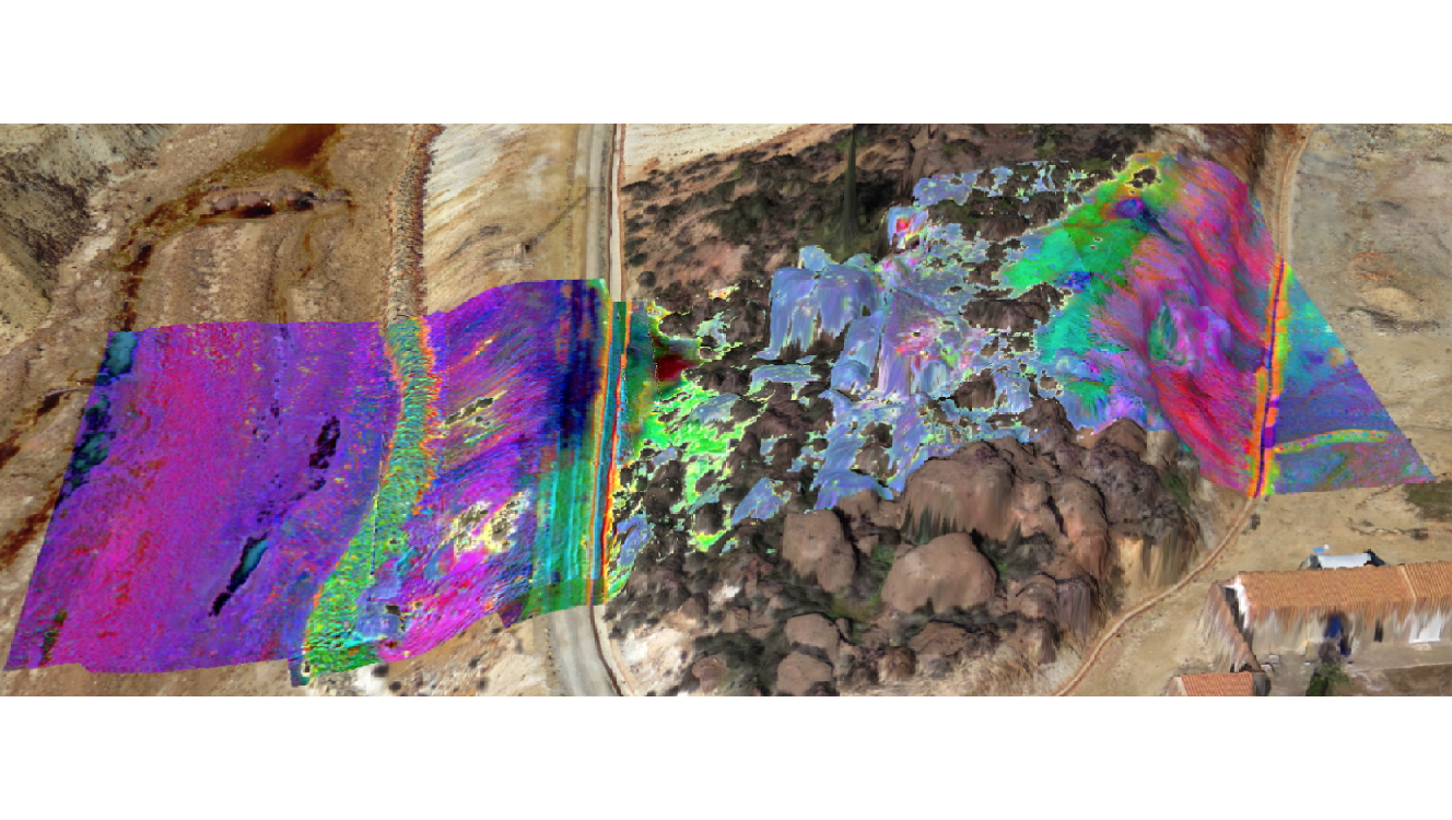
Exploration is always a costly endeavor but using the latest technology costs and most crucially time can be reduced by using UAS systems. Numerous applications such as Mine Site Survey, Magnetic Site Survey & Modeling, VSA – Volumetric Stockpile Analysis, Slope Stability Data Harvesting, Overburden Mapping, Thermal Inspection of Conveyor Belts, Tailing Pond Monitoring and Mapping, Real Time and Up to Date Site Overviews, Road Angle and Grading Data Generation, Identification of Misfires and Wall Damage, Environment Damage Assessment and Control can be performed by Drones. With our international partners we are capable of delivering the most technologically advanced deliverable to reduce the time required to fulfill the exploritory stages of any comercial venture.